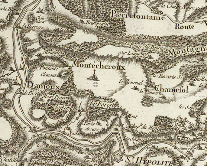
Cassini III Map On-line
In 1744, César-François Cassini de Thury (also known as Cassini III), began the construction of a great topographical map of France, one of the landmarks in the history of cartography. The map that eventually took 70 years to complete has been digitized and is available for viewing on at least two sites that I have found - the first site being the better of the two: David Rumsey Historical Map Collection and Des Villages de Cassini. I was able to find the sections of the map that shows the region of eastern France where my Franc-Comtois ancestors lived. The first image below is centered on the town of Montecheroux from where my ggg-grandfather, Jean Baptiste Francois Xavier Jeanin-Gaume, emigrated in the 1830’s.
The second image shows the larger area that my Franc-Comtois ancestors hailed from. Click the image to view the detail. In the lower left is Montecheroux which was then in the principality of Montebeliard and is now in France. In the upper right is Chevenez and Porrentruy which was then in the Bishopric of Basel and is now in Switzerland.
